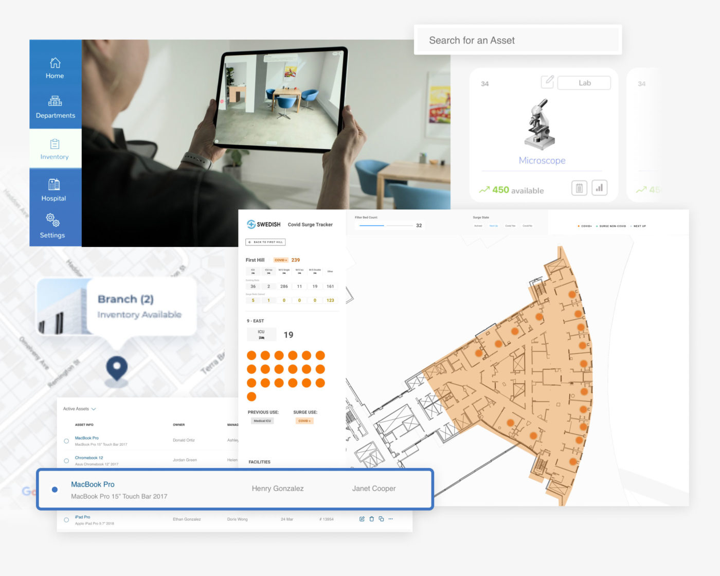
Acquiring spatial data for use in our design and analysis tools is always one of the first and most difficult challenges. AssetTRACK enables a broader group of architects, clients, and customers to facilitate domain specific assessments and spatial surveys. AssetTRACK is a machine learning enabled, mobile-first application to position any kind of data in the real world.
March 18, 2021
AssetTRACK

Tech Stack
- Postgres
- Swift
- ARKit
- Mapbox
- TensorFlow
- GraphQL
- Apollo
PLATFORM POC
The AssetTRACK platform poc establishes an IOS native tech stack in order to access the power of IPhone and IPad PRO lidar capabilities for increased accuracy of spatial registration.
Under the hood CoreML models are loaded from Apple’s new cloud model server connecting to ongoing image classification and segmentation research and model training efforts.
Users can tap to register bounding volumes which capture the geometry, enable transformation, and host attributes for the real world objects they need trackable spatial data for. Capture the size, location, classification and flexible attributes to be stored in the cloud.
Continued development on the platform includes inference based registration for aligning the captured AR environment to Revit + Rhino design models, automated segmentation, and reinforcement learning.