What it is
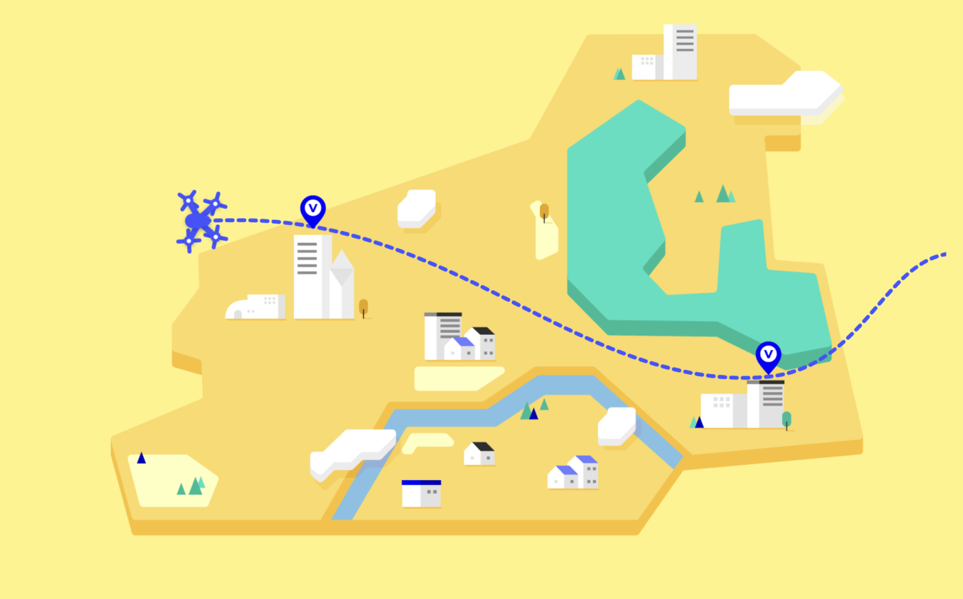
The emergence of Advanced Air Mobility (AAM) networks is drawing near as eVTOL companies make advances in their vehicle platforms and prepare to begin service. Airformer demonstrates how geospatial data can help operators, planners, and policy makers study the implications and opportunities for AAM by analyzing the intersections of urban and regional infrastructure, existing transit inter-modalities, and mobility and city planning.
